
Conditions report
A new year’s tale of two snowpacks in the B.C. Interior.
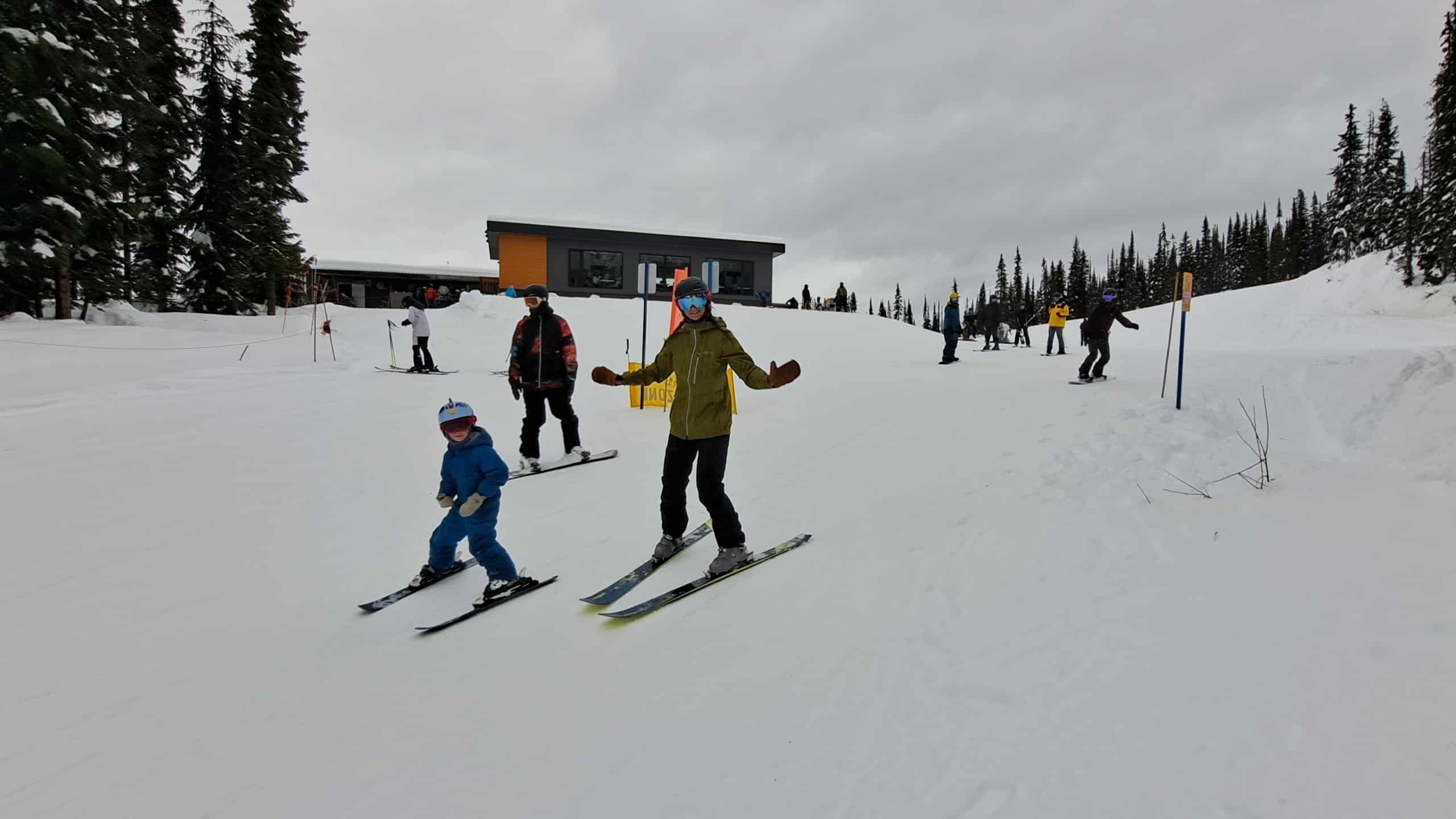
For the B.C. Interior, the early-season snowpack situation has been a best of time, worst of time set of scenarios. The snowpack quality and quantity have been a bit of a dog’s breakfast, and we have had the usual elevation-specific dividing line for both risk and riding quality. Earlier, there was a clear dividing line between precipitation types: rain at lower elevations and significant snowfall at higher elevations, resulting in good riding conditions in the alpine, but access was challenging.
There has also been an anomalous pattern in areas near Revelstoke and across the eastern ranges, with consistently heavy snowfall. Lake Louise is seeing a record-breaking start to the season, with the deepest early-season snowpack in 75 years.
As of Jan. 6, the Upper Mountain Base recorded an impressive 533 centimetres of snowfall. Over Rogers Pass, ski touring has been defined by punishing trail-breaking, with seasonal totals sitting around 335 centimetres as of Jan.2. A recent storm delivered up to 40 centimetres over Jan. 3 and Jan. 4, with another 10–20 centimetres expected in the following cycle.
Meanwhile, many areas west and south of Revelstoke have been receiving significant precipitation, much of it rain. Our thoughts and support are with anyone affected by the heavy rainfall and atmospheric river events experienced throughout November, December and into January. The warm temperatures and heavy rain have raised concerns about a weakening snowpack for both recreational riders and professional guides.
At times, Avalanche Canada has indicated the avalanche hazard is significant andthe Danger Rating as high. Storm systems persisted from mid-December through the Christmas period, driving a rapid increase in mountain snowpack across much of the province, butrier and colder conditions during the final week of December reduced snow accumulation.
Most forecast models are pointing toward the development of a high-pressure ridge over western North America by mid-January, which isn’t great news for snow lovers. That said, more recent trends suggest the ridge may set up farther inland, leaving the door open for warm, moisture-laden storms to track into the B.C. Interior from the southwest. It’s still not an ideal pattern, as freezing levels and snow lines are expected to rise—especially along the Coast. That could mean rain for areas such as Whistler, the North Shore and Vancouver Island later in the period as temperatures rise. The Interior will also see some warming, but it should be less pronounced, with precipitation amounts remaining more uncertain.
Northern zones, such as Revelstoke and Kicking Horse, are most likely to receive snow with this setup. While the base at Revelstoke might experience some rain at times, most of the skiable terrain should remain well above the rain–snow line. Further south, moisture appears more limited, reducing snowfall potential. As freezing levels rise, rain remains possible but should be pretty limited.
Overall, conditions should improve the farther inland you go and the higher you ascend, even as temperatures rise into mid-January. Later in the month, the high-pressure ridge is forecast to move west, just off the coast. That positioning will likely block most storm systems, though it may also allow colder air to flow in from the north.
Long-range guidance indicates limited moisture reaching B.C., mainly impacting the Interior, with the possibility of occasional light snowfall. At this stage, the systems appear moisture-starved, and a colder, drier pattern appears more likely.
When planning a backcountry winter trip, it’s worth taking advantage of the range of online tools available. Avalanche Canada’s Trip Planner is a solid resource when you’re deciding where to head for a day tour or a multi-day objective. One tool that’s newer to me—but has definitely caught my attention—is snowpack.avalanche.ca.
While we wait for the snowpack to continue building, the depth filter has been an easy way to fixate on numbers. Many mapping apps now offer similar features, and it’s a good reminder of just how useful these digital tools have become for solid pre-trip planning.
As always, staying safe starts with staying informed, keeping communication open and being willing to adapt as conditions change. Winter brings its challenges, but that’s part of what makes time in the mountains so rewarding. With a bit of planning and some honest decision-making, there’s still lots to enjoy while keeping risk in check. Make good calls, respect the backcountry, and aim for a season full of solid days out. And as always, recreate responsibly—and encourage others to do the same.
What did you think of this story?
Your feedback after we publish a story helps ensure we're always improving our reporting to better serve you
Related Articles
Boaters reminded to keep speeds low near shorelines
Wakes can increase erosion and impact nesting birds, according to Ministry of Water and Lands and Resources Sustainability.
The upper mountain at Revelstoke Mountain Resort is now open to mountain biking and hiking
Stoke Climb, Mackenzie Ridge and the upper part of the Fifty Six Twenty remain closed due to snow.
Returning Canada Strong Pass means free access to Mount Revelstoke National Park all summer
From mountain biking trails to Meadows in the Sky hikes, Mount Revelstoke National Park is a source for various free outdoor activities this summer with Canada Strong Pass.