
Heavy snow turns wet, closing highway through Rogers Pass, Revelstoke Mountain Resort
Rain closes the Trans-Canada Highway between Revelstoke and Golden and Revelstoke Mountain Resort due to avalanche risk and operations on Sunday, Nov. 28, 2021.

The atmospheric river sweeping over southern B.C. has led to the closure of Revelstoke Mountain Resort and the Trans-Canada Highway between Revelstoke and Golden after heavy snow starting late Nov. 27 turned into rain overnight.

Snow removal crews at work on Airport Way near the Illecillewaet River on Nov. 28, 2021. Photo: Aaron Orlando/Revelstoke Mountaineer Magazine
Trans-Canada Highway closed between Revelstoke and Golden
The Trans-Canada Highway was scheduled for avalanche control in Rogers Pass starting early this morning with intermittent closures today. However, that has changed to a full closure between Revelstoke and Golden with an update scheduled for 12:45 p.m.
⚠️REMINDER #BCHwy1 – CLOSED due to avalanche control work between #RevelstokeBC and #GoldenBC has the highway closed in BOTH directions. Expect delays.⚠️
ℹ️https://t.co/gRZaSfYxX4#RogersPass @GlacierNP
🗻❄️— DriveBC (@DriveBC) November 28, 2021
Revelstoke Mountain Resort closed Nov. 28

Slushy conditions at the base of Revelstoke Mountain Resort on Nov. 28. The resort was closed for skiing due to wet conditions and high avalanche risk. Photo: Aaron Orlando/Revelstoke Mountaineer Magazine
Revelstoke Mountain Resort is closed due to extreme avalanche danger on Nov. 28. Resort lift attendants said there had been rain to the top of the Stoke chair. Resort staff initially delayed opening to later in the morning but then opted to close the resort on Nov. 28. The resort say 29 centimetres of snow overnight.
Saturday snowstorm turns to Sunday rain
View this post on Instagram
Around town, there roads are mucky and wet with snow removal crews working to clear the snow and slush covering town.
The main arteries are passable but there are still windrows on the smaller streets and vehicles with low clearance risk getting high-centred on the heavy snow.
More to come
Environment Canada has warned of more atmospheric river events in the near-term forecast. The system brings warm, wet air from the middle of the Pacific to B.C.
Another atmospheric river is set to hit B.C. starting on Tuesday.
We’re watching back to back atmospheric rivers forecast to hit BC, the 1st one starts tomorrow (Nov 27). The 2nd begins on Tuesday (Nov 30).
There is a significant risk of flooding & more impacts on vulnerable landscapes & infrastructure. #bcstormAlerts: https://t.co/SX1zBS4jPt pic.twitter.com/YEE1BBE15M
— ECCC Weather British Columbia (@ECCCWeatherBC) November 26, 2021
Avalanche risk is high
The avalanche danger rating for the North Columbia and Glacier National Park is listed as “high” for all levels of the mountain from alpine to below treeline.
Many regions have a danger rating of considerable for Saturday and danger is expected to stay elevated throughout the weekend as we experience an active storm pattern. If you’re heading out, this will be a time to play it safe ❄
Get the forecast 👇https://t.co/JwMaRhQejp pic.twitter.com/z78hrmvrnH
— Avalanche Canada (@avalancheca) November 27, 2021
Warming temperatures and new, heavy, wet snow and rain on the top layer are both red flags for avalanche danger. As the Parks Canada avalanche bulletin for Glacier National Parks states, “Avoid avalanche terrain for the time being as the snowpack adjusts to the additional load. It would be a good time to check out the recently opened ski resorts!”
What did you think of this story?
Your feedback after we publish a story helps ensure we're always improving our reporting to better serve you
Related Articles
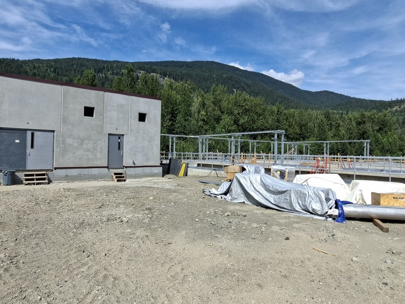
Wastewater treatment plant upgrades set to future-proof facility for 2 decades
Plans to include Big Eddy residents and businesses into the updated facility still in the early stages, city director of engineering says.
Revelstoke granted $200,000 to rework development guidelines
Clarifying building requirements is key in speeding up development approvals, director of development services says.

More childcare spaces needed as families face estimated $35,000 income impact annually
Revelstoke Child Care Society still has over 160 families waitlisted as plans to expand into Okanagan College building take shape.