
Smoke, heat, floods and more: IH interactive maps highlight climate change health issues
Interior Health introduces interactive maps that highlight four common climate hazards in B.C. to help communities plan for resiliency
Interior Health has released new interactive maps to help communities explore and plan for the impacts of climate change.
The maps are part of a climate resiliency and planning initiative intended to help individuals and communities understand future impacts of climate change and start conversations on how to become more resilient to these changes.
Interior Health says it recognizes the influence climate change has on the lives of residents in the region and expects to see an increase in climate-related hazards, saying the maps are guides to how communities can be best prepared.
Interior Health’s Healthy Communities Program created the maps, and they focus on four commonly experienced climate-related hazards in B.C.: high temperatures, low temperatures, flooding, and wildfire smoke.
The map determines a community’s vulnerability to climate hazards by analyzing exposure, sensitivity, and adaptive capacity. The factors are broken down into individual layers on the map.

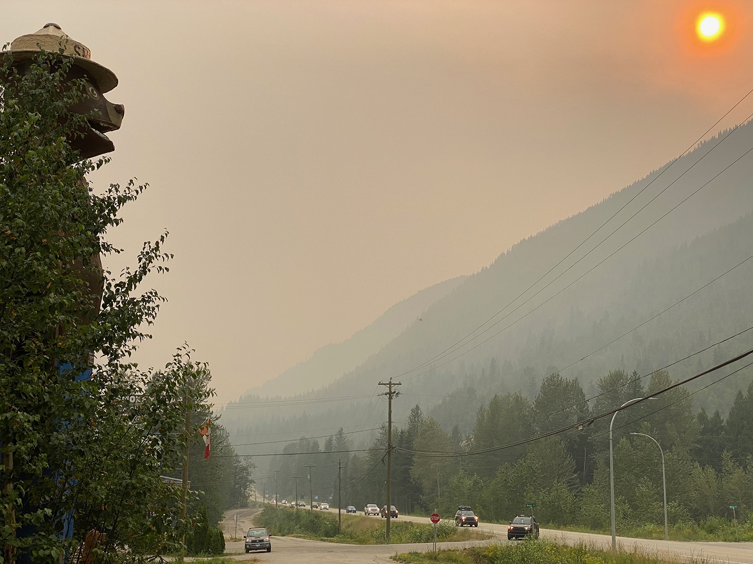
This map indicates Revelstoke and surrounding areas’ Smoke Vulnerability. Smoke Vulnerability is mapped as a function of exposure to wildfire smoke, sensitivity to its effects, and adaptive capacity to deal with these effects. Credits: Interior Health Community Health and Climate Change
Interior health says that the maps help with city planning. The maps are a tool for individuals and municipalities to understand climate-sensitive areas that could impact planning, building, and expansion projects.
“The maps show the communities that are most vulnerable to different climate hazards and allow us to focus our efforts and work together to plan and prepare,” says Dr. Sue Pollock, Chief Medical Health Officer. “For example, the maps show communities that may be more affected by heat; this information helps us identify appropriate actions that communities can take in order to keep people healthy and safe.”
Explore the impacts on Revelstoke here
Explore the impact of issues like heat, smoke, floods and more by viewing the interactive map here:
What did you think of this story?
Your feedback after we publish a story helps ensure we're always improving our reporting to better serve you
Related Articles
Wastewater treatment plant upgrades set to future-proof facility for 2 decades
Plans to include Big Eddy residents and businesses into the updated facility still in the early stages, city director of engineering says.

Revelstoke granted $200,000 to rework development guidelines
Clarifying building requirements is key in speeding up development approvals, director of development services says.

More childcare spaces needed as families face estimated $35,000 income impact annually
Revelstoke Child Care Society still has over 160 families waitlisted as plans to expand into Okanagan College building take shape.