
Intersection upgrades are among several infrastructure upgrades that may be needed if the proposed Mackenzie Landing housing development on Nichol Road gets the green light.
Developer David Evans, who has applied to add a comprehensive development zoning district and rezone the land plots of 1750, 1800 and 1816 Nichol Road, has submitted a series of reports that will be considered by city council.
The reports that were requested by the city last year include a financial impact assessment, a traffic study, preliminary infrastructure and servicing study, an environmental report, a parks and trails plan, a waste management plan and a housing agreements strategy on affordable and attainable housing.
Last year as the application moved through council, an open house was held in April. 154 residents attended and 87 submissions were received. Council in June then requested that Evans provide further information in the form of these reports before they would further consider the application.
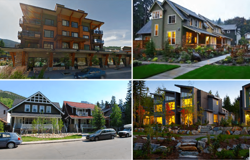
The Mackenzie Landing site is located on 14.3 acres and the housing will be a mix of single, duplex, townhouses and apartment complexes. The number of proposed units has been reduced from 1,580 to about 1,100, although this number will vary depending on the market absorption of the smaller units in the initial phases, according to the report.

The housing density for this development is the result of the flexible zoning that has been developed for this property. The number of each building type will be built dependent on market demands for specific unit types.
The development is proposed to occur over 10 years and traffic from permanent residents is anticipated to increase at a rate of 62 vehicles per year.
Given the projected traffic from the development upgrades to intersections may be required at the Airport Way/Nichol intersection, and the two access points to the development from Nichol Road and Hay Road.
The development is predicted to generate approximately 371 vehicular two-way trips in both the A.M. and P.M. peak hour. Winter is expected to have the most traffic due to the proximity to the ski resort.
A report by Kamloops-based McElhanney Consulting Services into water and sewer flows to and from the property explores what is required to service the development.
That report notes that the current water treatment plant is at 88% capacity, and that it will reach 100% capacity in 2018 given Revelstoke’s growth rate of about 2%.
The report notes the current Arrow Heights reservoir capacity, saying it will need to be expanded by 2023 given projected growth in Arrow Heights, including this development and other development.
For more detailed information, see the source documents in this report:
Nichol Road housing development by Revelstoke Mountaineer
What did you think of this story?
Your feedback after we publish a story helps ensure we're always improving our reporting to better serve you