
New B.C. transportation plan: What it means for Revelstoke area

What’s in store for Revelstoke in the B.C. government’s new 10-year transportation plan? The plan, named ‘B.C. on the Move,’ was announced Mar. 17, and the Revelstoke Mountaineer spent the rest of the week back-and-forthing with a transportation ministry spokesperson trying to get details on projects for the Revelstoke area.
Our interview with the transportation minister never happened, and we did get some answers to some of our questions emailed back — at 4 p.m. on Friday afternoon. Unfortunately, the ministry communications skipped over many of our questions.
Here’s the best picture we have of what the transportation plan means for Revelstoke:
New Illecillewaet four-laning project
As far as we can tell, the “Illecillewaet” four-laning project was announced for the first time in this plan, although there are few details yet. We asked for details on the four-laning project on the Trans-Canada Highway east of Revelstoke, but there were few forthcoming. We were told it’s located approximately 40 kilometres east of Revelstoke and that, “the scope of the project will be determined in the coming months, as planning and design work proceeds.”
As far as we’re aware, it’s the only new highway four-laning project in the plan that has not already been announced previously as part of other transportation ministry plans and announcements. Other than a bridge in Malakwa, most four-laning projects in development are west of Salmon Arm or East of Golden.
New variable-speed electronic speed limit signs
When highway speed limit increases were announced in July of 2014, including stretches of the Trans-Canada Highway around Revelstoke, the B.C. Ministry of Transportation promised they’d trial variable-speed electronic signs that would adjust limits during adverse weather (and traffic) conditions.
The promise was for an integrated system using sensors that measure things like weather, pavement conditions, and traffic volumes. That information is relayed to an employee who adjusts speeds according to conditions.
The idea being that the number of serious and fatal MVIs spikes during adverse weather conditions in the mountain passes around Revelstoke, and adjusting limits according to weather would reduce incidents.
In 2014 the B.C. government went ahead with speed limit increases, but the promised trial of variable signage on the Trans-Canada Highway between Perry River and Revelstoke never materialized.
The new transportation plan says the system will be installed “between Sicamous and Revelstoke” but doesn’t say when, so we asked.
A ministry spokesperson said the system is in the “design stage” and that “installation is planned for 2015.”
The system will include LED-light speed signs posted along the route that can be changed in real time. There will be an overhead sign marking the start of the variable speed zone.
In a statement, a ministry spokesperson said “the system will also react to congestion and can be used to manage vehicle speeds during incidents.”
It seems the system will adjust speeds not only during bad weather, but also during traffic incidents, such as heavy volume.
New avalanche control systems promised
There is a short reference to avalanche control on the Trans-Canada, noting the highway can be closed between 200 to 400 hours a year depending on snow conditions.
The plan promises “new technologies and other improvements” to reduce highway closures related to avalanches. As everyone here knows, avalanche control on the highways is a big deal for Revelstoke, and a significant employer too.
The Revelstoke Mountaineer asked for more details in hopes of separating existing projects from new ones, but we got a limited response.
“We are in the early stages of project development and new technologies to trigger avalanches, such as explosives or new gas mixtures, are under review,” ministry spokesperson Sonia Lowe said. “A final decision on new measures to be used has not yet been made.”
We also asked for budget details on the new initiatives, but were provided with nothing. As a result, it’s difficult to distinguish between ongoing improvements and new initiatives in the transportation plan.
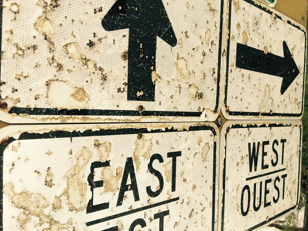
Trans-Canada signs in Mt. Revelstoke National Park. Revelstoke Mountaineer file photo
Eastern and western accesses to Revelstoke
Eastern and western access improvement means fixing the Trans-Canada Highway at Victoria Road and improving the eastern access to Townley Road at the Trans-Canada Highway.
The transportation ministry said they don’t have anything to announce yet: “Additional road network improvements in the Revelstoke area are being identified through planning work with the municipality,” Lowe stated. “No specific projects have yet been finalized.”
Projects that have a significant interface with a municipality likely wouldn’t be announced during a higher level provincial plan like this. Also, if it’s a smaller project, like re-jigging some traffic lanes and putting in new signage, it’s not likely to show up in the plan.
Revelstoke Airport improvements?
Community airports will get access to $24 million in new funding in the next three years to “invest in infrastructure improvements.”
A transportation ministry spokesperson said the “program details are being finalized” and that “no specific projects at community airports have been identified yet.”
Any new funding for four-laning between Kamloops and the Alberta border?
Premier Christy Clark’s speech to the Union of British Columbia Municipalities in 2012 remains a touchpoint for partisan political feuding on highway issues, including this week when the transportation plan was unveiled.
Unfortunately, both sides continue to dance next to the facts, so we’ll referee a bit.
At UBCM 2012, Premier Clark announced a new $509 million over 10 years to continue four-lane improvements to the Trans-Canada Highway between Kamloops and the Alberta border. Rolled into an existing $141 million budget, the total is the much-discussed $650 million in funding for four-laning.
However, the premier didn’t commit to finishing four-laning within 10 years, and that’s been my understanding since the announcement (see paragraph 8 here). The fact is completing four-laning the provincial portion of the highway will cost more than $650 million. Way more. The Kicking Horse Canyon project is estimated at about $767 million, and the new transportation plan estimates the final four kilometres of the Kicking Horse project to cost “between $440 and $650 million to complete.” So, that would basically scrub the entire 10-year, $650 million commitment for a four-minute stretch of the highway. What the total cost of completing four-laning of the highway is anyone’s guess – that requires engineering studies.
(It’s also worth noting that the transportation plan has upped the cost of the Kicking Horse final phase. Just a couple months ago when the B.C. budget was tabled, the estimate was $440 million, now it has ranged up by an additional $210 million.)
It’s unhelpful that Columbia River–Revelstoke MLA Norm Macdonald (NDP) and his camp keeps muddying the water about the premier’s 2012 UBCM speech, as they did in a Mar. 18 media release, the day after the new transportation plan was released.
“In 2012, Premier Clark said the four-laning of the remaining two-lane 280 kilometres on the Trans Canada between Kamloops and the Alberta border would be completed in the next 10 years,” stated the local MLA’s media release.
We’ve seen the video and the transcripts, and original reporting on the announcement delineates that there was a 10-year commitment of $650 million dollars, and that eventual four-laning of the stretch is the goal, but not four-laning within 10 years.
On the other side of the political feud, the new transportation plan also contains some wishful statements on the four-laning budget. It restates the $650 million commitment, and also states that the province’s goal is to leverage federal funding and increase investment on the corridor to: “over $1 billion with partners over the next 10 years.” They printed that last clause in bold text in the plan.
Getting the federal and provincial governments to co-operate on funding highways projects is the name of the game on the Trans-Canada Highway. Getting the federal government to pony up $350 million by 2025 isn’t an unrealistic number, but the provincial government promising it’s their “goal” is an aspirational statement at best.
We asked the transportation ministry for an update on how much they’re spending on the four-laning goal, and they referred us to their existing budget, which allocates jusst $151 million over three years between 2015 and 2018. It’s unclear how much of that capital budget even goes towards four-lane upgrades, as opposed to other kinds of upgrades.
To summarize, although the B.C. government may not be on track to spend $650 million in 10 years, green-lighting just one project in the Kicking Horse would fulfill that promise, but it wouldn’t get us much closer to a four-laned highway between Kamloops and Alberta. Nevertheless, other projects are on the way, including Malakwa Bridge, Monte Creek to Pritchard, and Pritcahrd to Hoffman’s Bluff. The Donald East project is in planning and design.
Other initiatives
The plan references several items that have been key issues for Revelstoke, but they are mostly bullet points with few details.
-It speaks of a plan to “work with provincial policing agencies and other incident-response partners to reduce the duration of highway closures.” It talks of improving “intelligent transportation technologies” that can centrally manage traffic incidents and provide “a co-ordinated traffic-management response during emergencies.”
-DriveBC has been one of the ministry’s successes in the past decade, although the system does have its glitches and idiosyncrasies. The plan outlines proposed improvements, including enabling the public to provide real-time information to the system, improving webcams and improving the website.
-New rules will clarify the definition of winter tires to keep up with changes in manufacturing. A lack of proper winter tires is cited again and again by Revelstoke police after incidents on the Trans-Canada Highway around Revelstoke.
-The plan calls for widened shoulders and improved sweeping on provincial highways used by cyclists to improve safety. There is also mention of cycling tourism signage in conjunction with Destination British Columbia to promote cycling tourism.
***
Is there something missing from this story? Do you have questions you’d like us to ask the Ministry of Transportation and Infrastructure about the plan? Please ask them below, or email [email protected] and we’ll put the questions to the ministry.
What did you think of this story?
Your feedback after we publish a story helps ensure we're always improving our reporting to better serve you
Related Articles
Wastewater treatment plant upgrades set to future-proof facility for 2 decades
Plans to include Big Eddy residents and businesses into the updated facility still in the early stages, city director of engineering says.
Revelstoke granted $200,000 to rework development guidelines
Clarifying building requirements is key in speeding up development approvals, director of development services says.

More childcare spaces needed as families face estimated $35,000 income impact annually
Revelstoke Child Care Society still has over 160 families waitlisted as plans to expand into Okanagan College building take shape.